- Day: 116 -118
- Start: 1586.0
- End: 1610.6
- Miles: 24.6
- Hours: 12
- High temp: 76
- Low temp: 62
- Thru Hikers met: 4

Bennington town art
The howling of the wind is present all night long. The sound gives the impression of a cold miserable day ahead. I go down to the dining room for coffee at 0600 hrs. The weather report is not as bad as the wind leads me to believe. Soon J2 arrives and Duke comes down. We chat about plans for the day, hiking and related things. Before I know it the 0800 hour is here and I order a breakfast.

A proper breakfast
Now I'm on the trail at 0820 hrs, so late for me. I'm planning to reach a shelter about 4 miles from the highway that goes to Bennington or actually make that highway, just have to see how the day works out.
Just on the other side of the monument is a fancy shelter where J2 bunked last night. Really it's supposed to be used in emergency situations only, he claims he didn't know, no harm done.

The fancy shelter

Inside the fancy shelter
Now I've got a steep decline and a nice view from the Mt Prospect Ledges.

Mt. Prospect Ledges and a view of Williamstown
The trail drops me into a residential area where I walk streets for a couple of miles. There is a colorful bridge decorated by the town children.

While it may look sloppy it's mainly stamped with the handprints of children.
More town streets then unbelievably up a driveway where the homeowner offers water for hikers from a hose.

Water for hikers then the forest
Now back into the forest where the trail follows a stream which according to signs is the town water supply.

Soon another milestone appears, I'm in Vermont.
The trail leads me by a huge boulder left by the glaciers. It is fascinating to see this big rock just perched on a rock slab.

Glacier leftovers
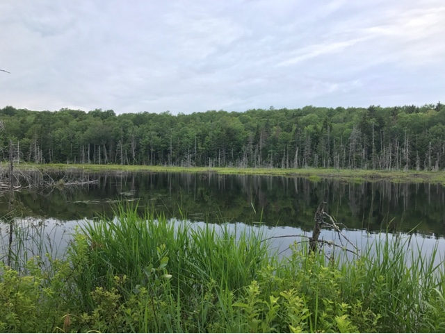
Vermont is a verdant green for a reason, water. I come upon some ponds. I keep a sharp eye out for moose, alas I see only small water snakes that hurry out of my way into safety of the water.


The damp trail

The wet trail
Now the trail is damp, even soaked and even a stream sometimes. I find myself wishing for some waterproof boots as I navigate the mud and water.
I reach the last shelter about 1800 hrs, there is room for me if I decide to stay. The great thing about this shelter is that there are bunks so you have a set space around you. I chat with the hikers there and consider the weather. Rain in the morning, I would rather descend in the current conditions without the addition of more water on the rocks. I leave figuring I'll be in Bennington by 2030 hrs. The final steep descent to VT route 9 is rock steps. I'm very happy I did this section now and not in the rain. Once at the highway there is a fellow in the parking lot heading down who offers me a ride. A steak for dinner and a soak in Epsom salts rounds out the day.
Tomorrow resupply boxes, laundry, retreat clothes with permethrin and apply for Medicare, (yes I'll be 65 in October).

The town Roman Catholic Church. Beautiful stone masonry.

The Sunny Side Cafe, a very good breakfast.
No comments:
Post a Comment
Hi, happy to hear from you, please post your comments here.